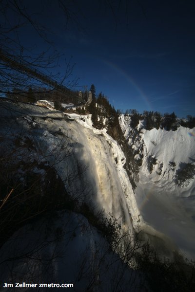
Parc de la Chute-Montmorency

jzmmqc122007.jpg

An impressive waterfall, particularly in Winter with ice climbers scaling the heights. Clusty search.
Bonjour Quebec:

The Montmorency Falls, cascading 83 metres down to the river below (30 metres more than Niagara Falls), are situated on a historical site of natural beauty in the Montmorency Falls Park. A cable car runs up to the Manoir Montmorency, where a restaurant, reception rooms and boutiques await the visitor.

Satellite View.

Satellites build a picture of the past

Jacqui Hayes:

Gone are the days of a fearless Indiana Jones battling through the jungle in search of ancient treasures. Today’s archaeologists are using high-tech tools – from NASA satellites to Google Earth – to do the hard work for them.
If they haven’t been destroyed or dismantled, many ancient structures were long ago enveloped by soil, water, sand, volcanic ash, or thick vegetation. Though they might not be obvious to the naked eye, archaeologists are learning how to spot them.
Since the World War I, aerial photography from low-flying aircraft has been widely used. These images can help to pick out relics betrayed by unusual mounds, lines or disjointed landscapes. In other places, buried structures are completely invisible to the naked eye. But they still reveal clues to their whereabouts – just not with visible light.